Hiking Jenny Lake: Hidden Falls, Inspiration Point, & Cascade Canyon

Day 1: Grand Teton national park

We left camp early and headed south toward Jenny Lake.
The plan for the day was to do an out and back hike starting around Jenny Lake, stopping at Hidden Falls, Inspiration Point, and continuing on into the backcountry. After our Hike we headed to Mormon Row to see the park from a different perspective.

We left camp so early that when we started driving toward Jenny Lake it felt like we had the park to ourselves and we definitely took advantage of the empty roads.

Hiking Jenny Lake: Hidden Falls & Inspiration Point

Hidden Falls and Inspiration Point are some of the most popular things to do in the park. You definitely want to make sure you arrive early in order to get a parking spot. When we returned from our hike in the early afternoon cars had poured out from the lots to the shoulder of the road.

When you start off your hike you have two options Leah and I coined these the: adventure route or relaxed route.

The Adventure Route means you’re going to hike from the parking lot/visitor center around the lake. The Relaxed Route means you’re going to pay to take a shuttle boat across the lake- it cuts down on a lot of time but you miss out on some great views.

The ‘adventure route’ you an take clockwise or counterclockwise and the ‘realxed route’ runs from the East Boat Dock to the West Boat Dock

Photo: from NPS website

After you pass the Jenny Lake Boathouse the paved path ends and you start walking along a packed dirt trail around the lake, you’ll stay on this trail for about two miles (if you go clockwise around the lake)

The views just kept getting better and better!

After walking for two miles you’ll come to a fork in the trail. To the left you’ll head toward Hidden Falls and to the right you'll walk a short way down the trail to the boat shuttle. We took the detour to check out what the shuttle stop looked like- big plus there was a bridge with a raging river going underneath and a great photo-op.

Once you leave the boat launch and head back up the trail it isn’t much further toward Hidden Falls. There’s a clearing that offers great views of the falls but keep in mind it gets quite crowded!

From Hidden Falls the trail steeply climbs to Inspiration Point. The views of Jenny Lake from the top are incredible.

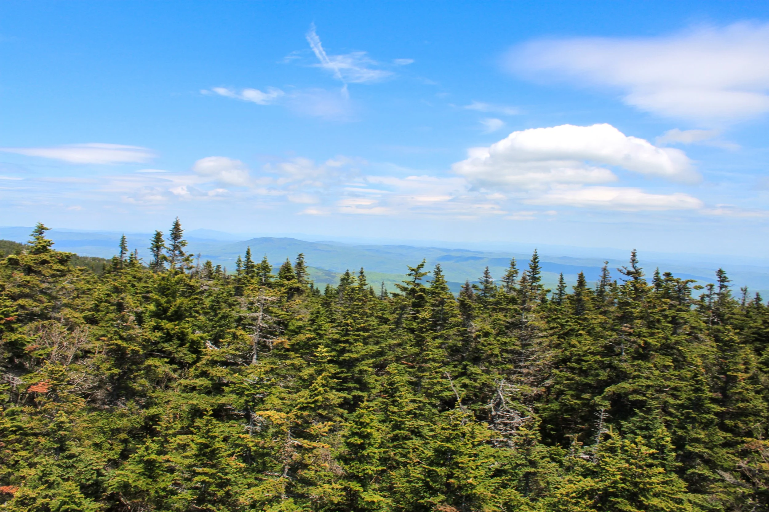
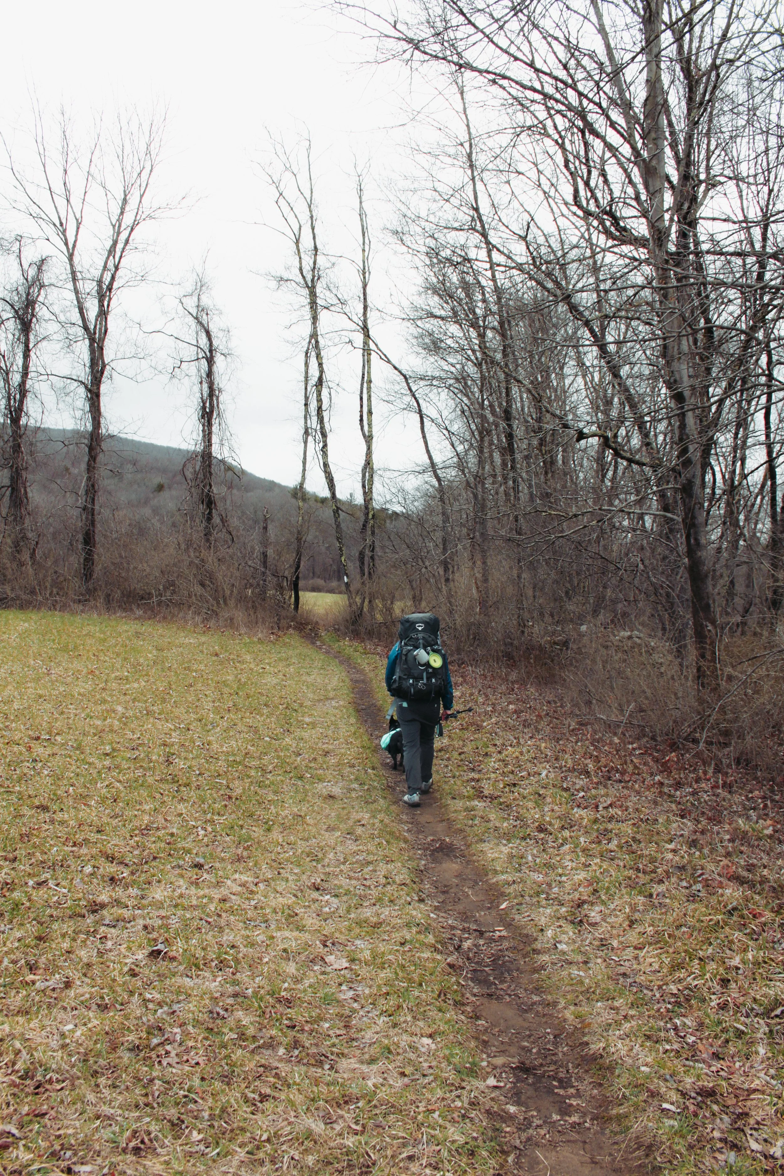
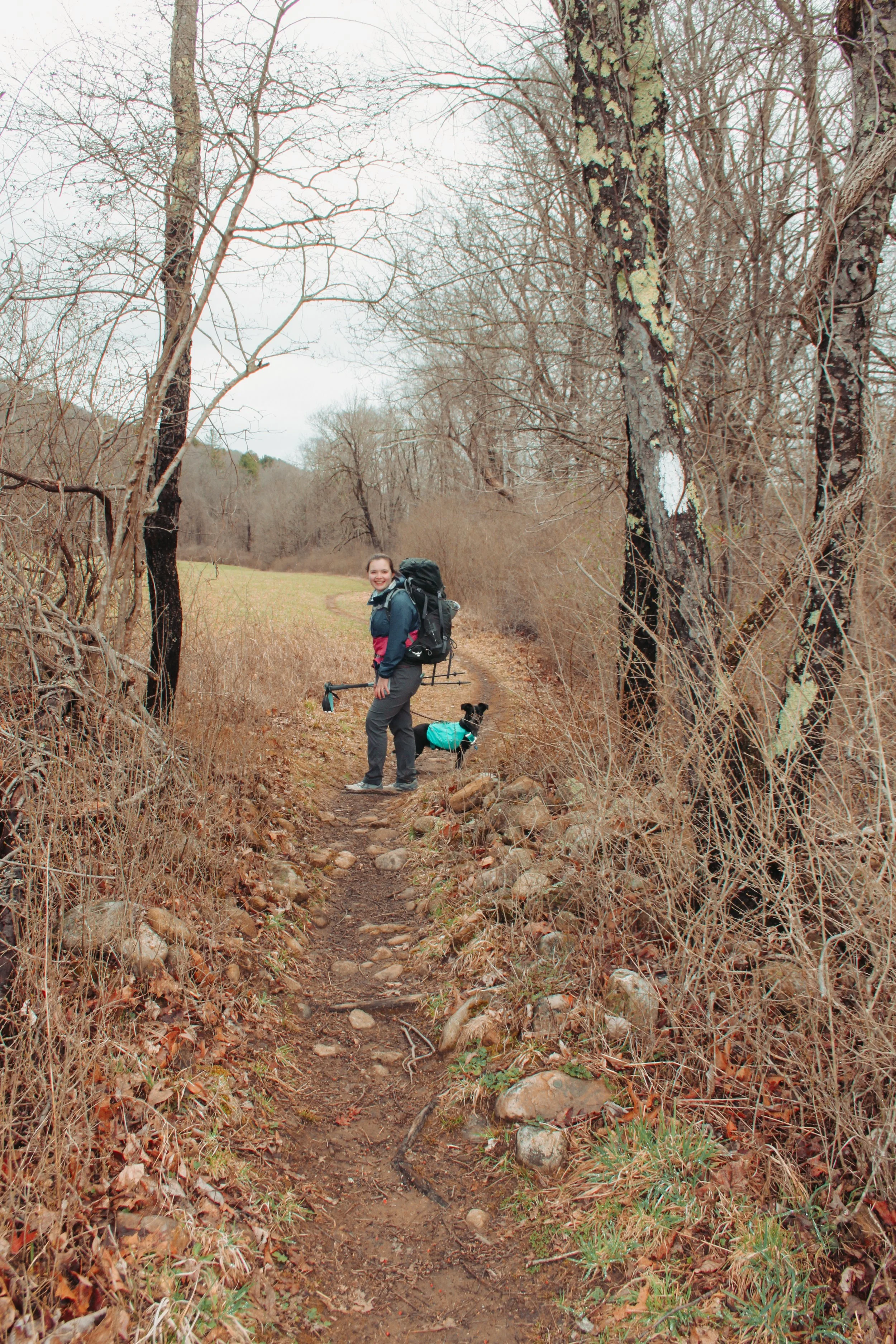
After the long climb up to Inspiration Point there’s plenty of room to take in the views. It’s incredible just how much you can see. The majority of hikers and families will turn around here. If you’re up for more adventure, continue past Inspiration Point and follow the trail as it winds through the backcountry and into Cascade Canyon. There’s no set turn around point, it’s actually hard to want to turn around because the views just get better and better.

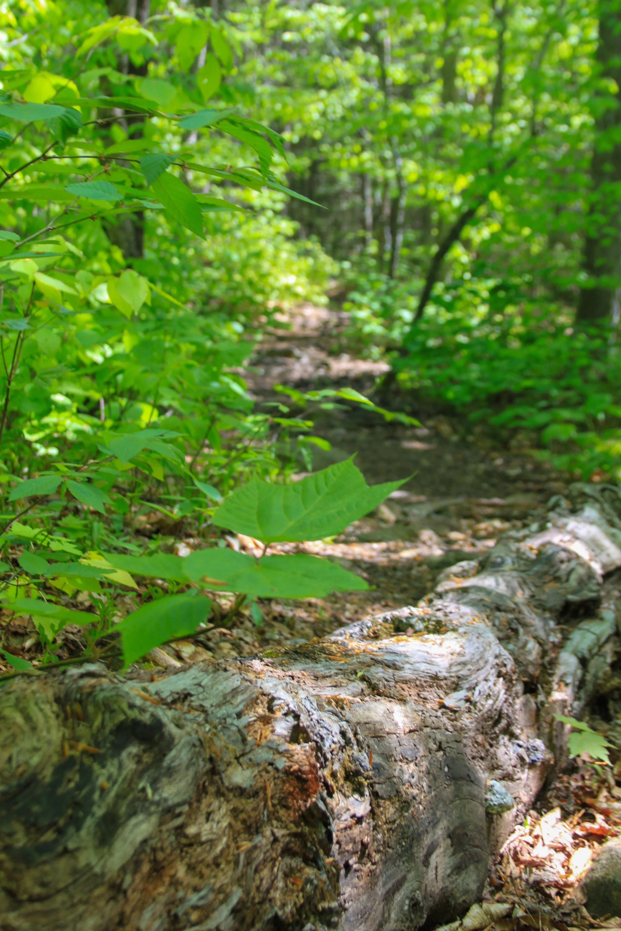
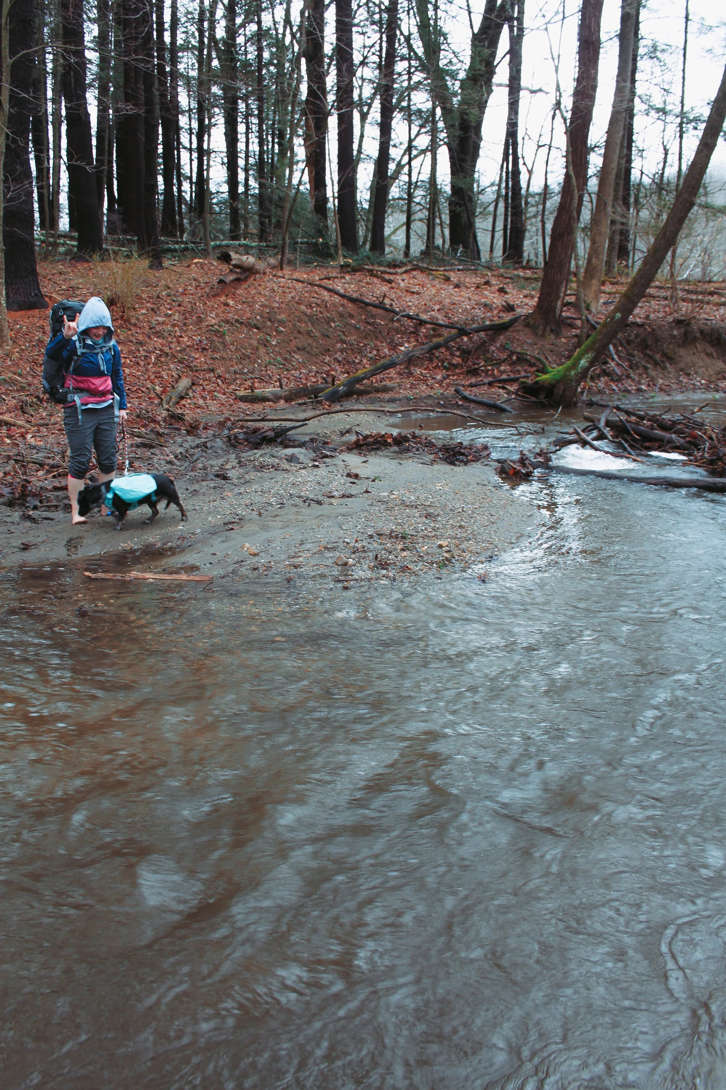
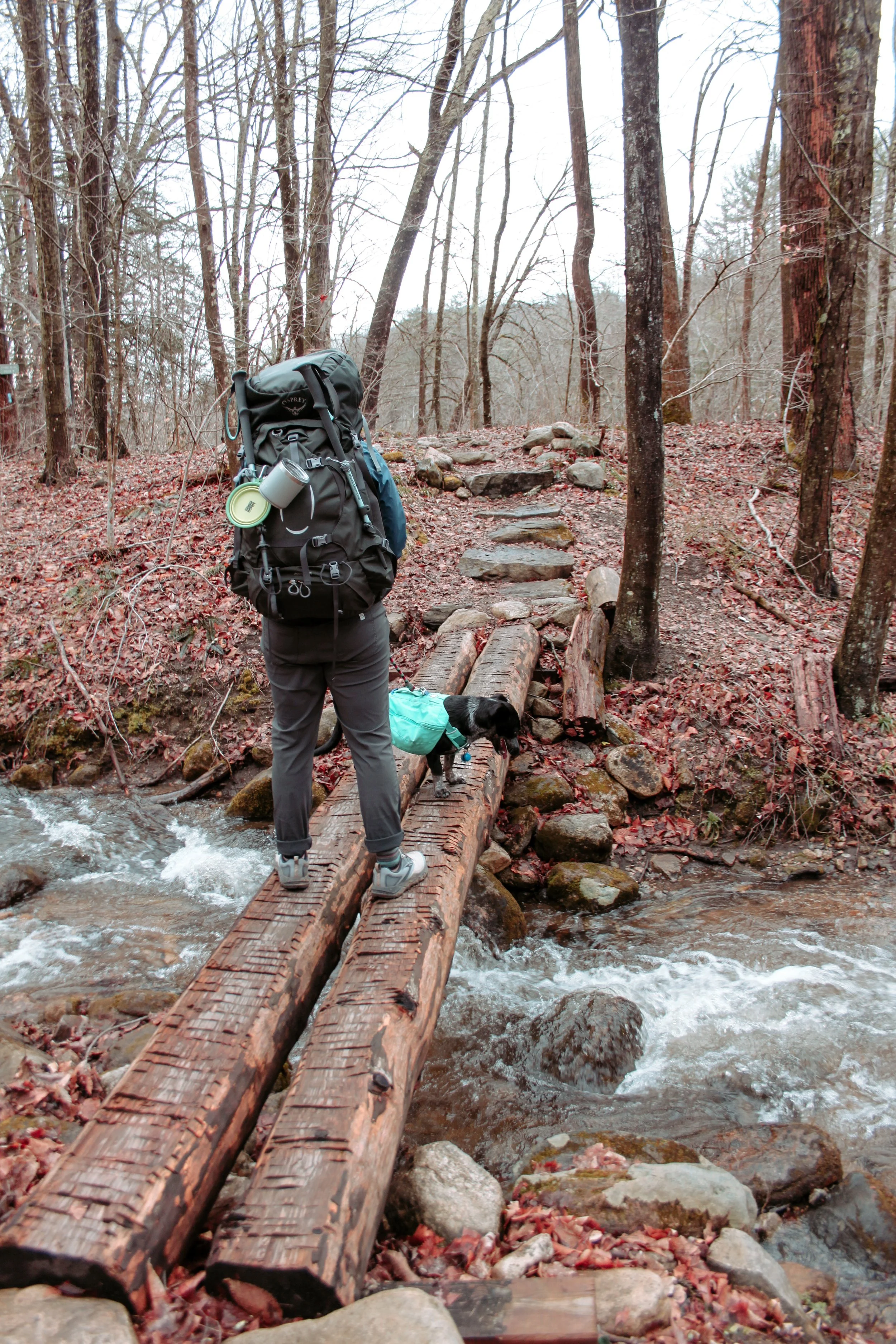
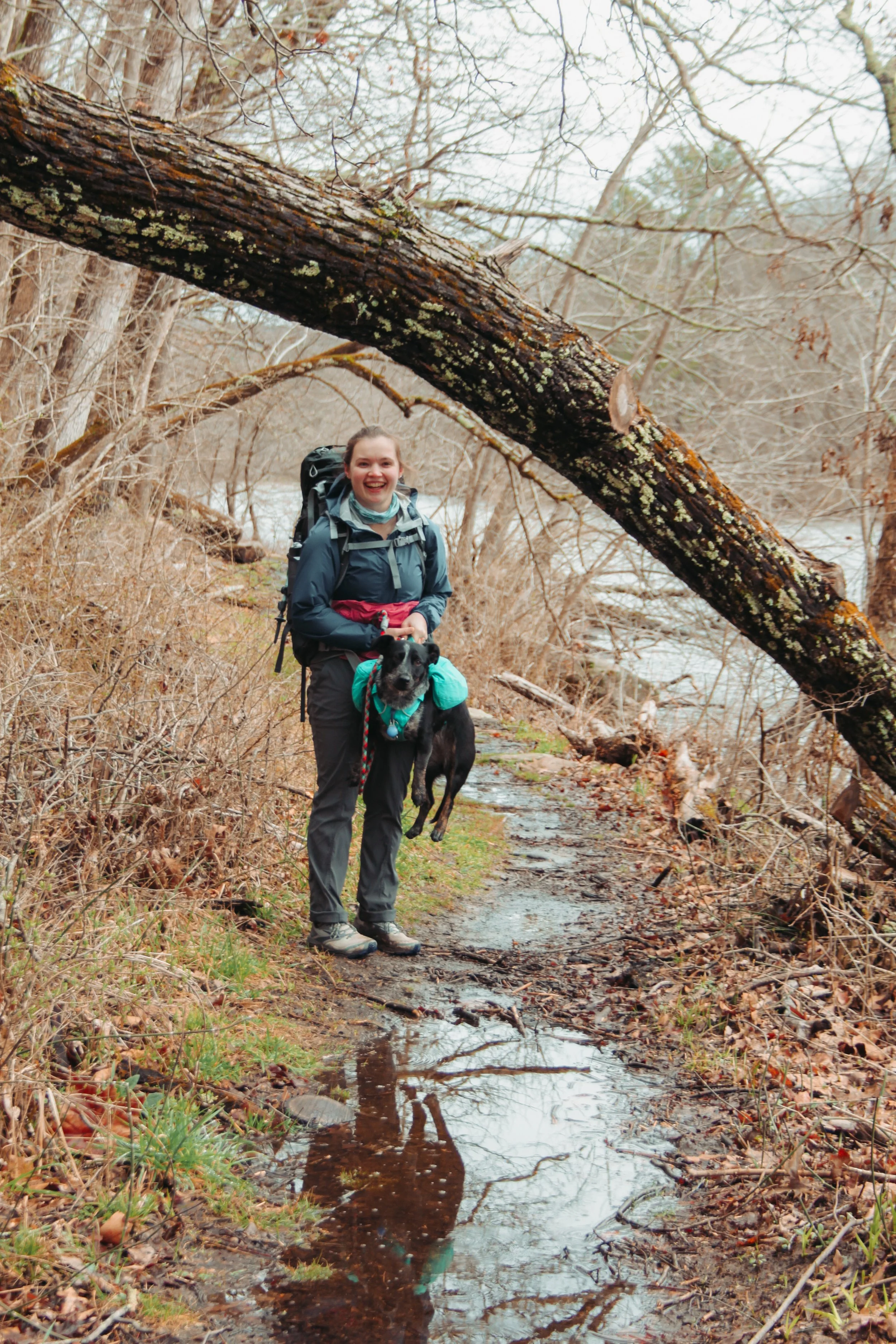
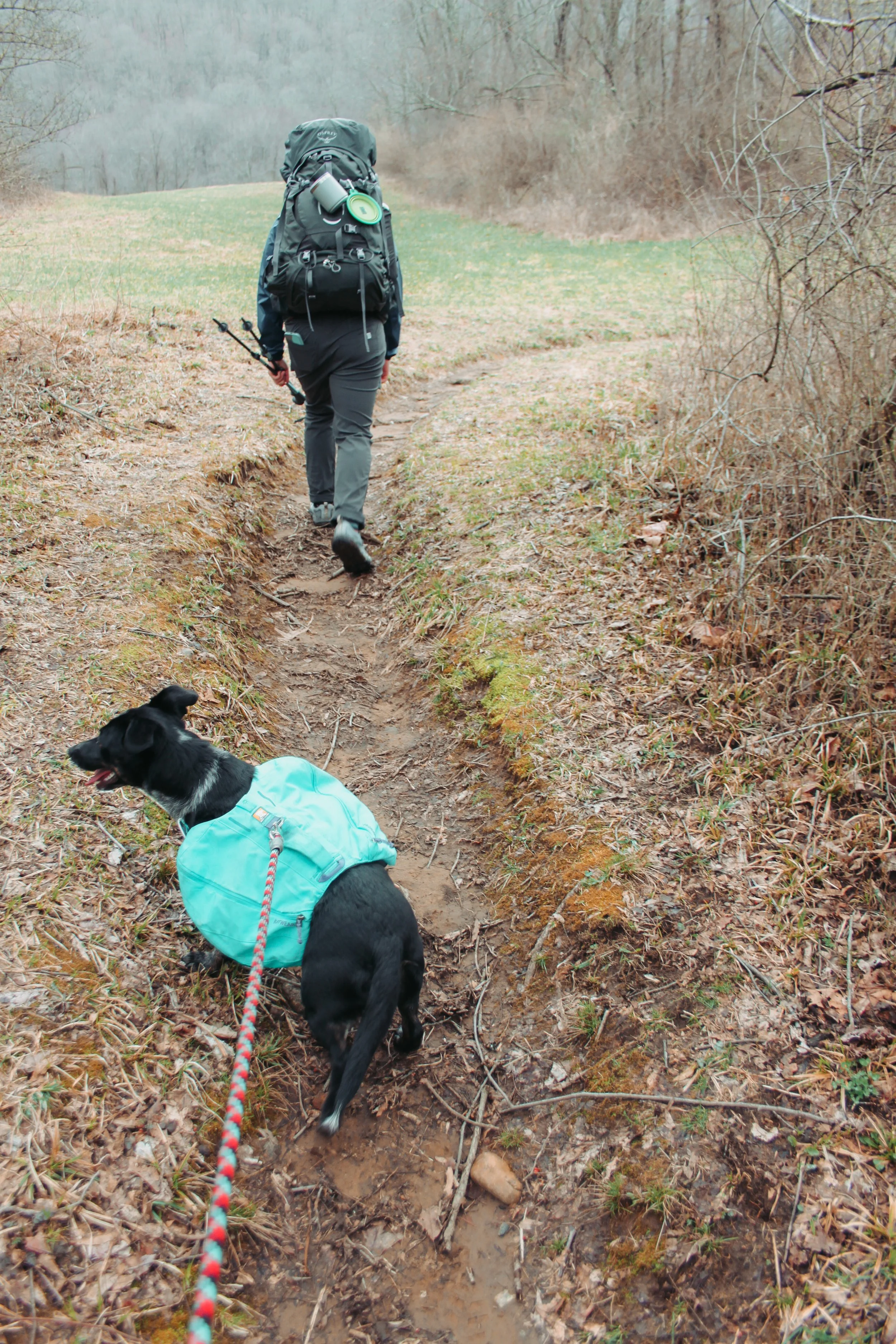
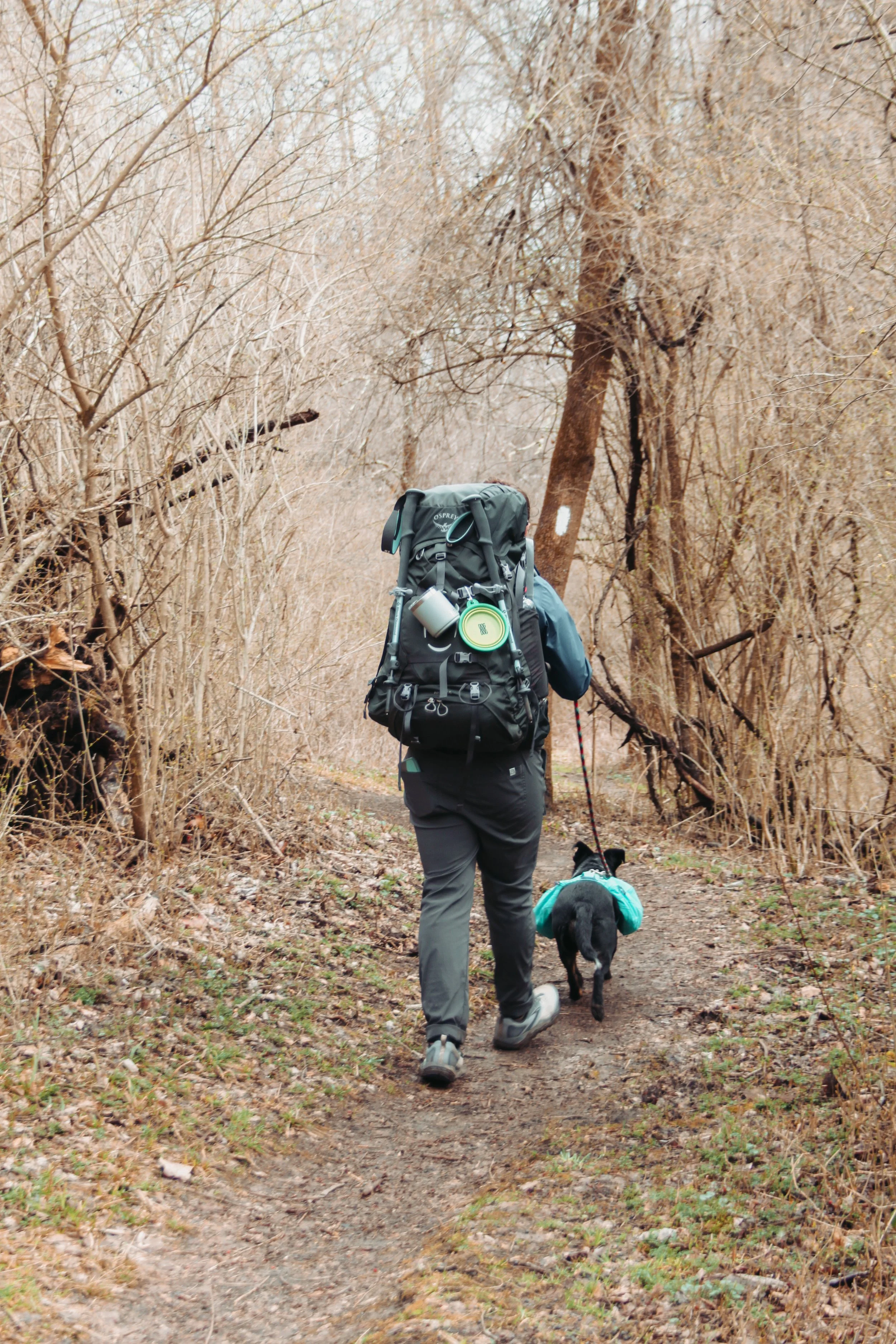
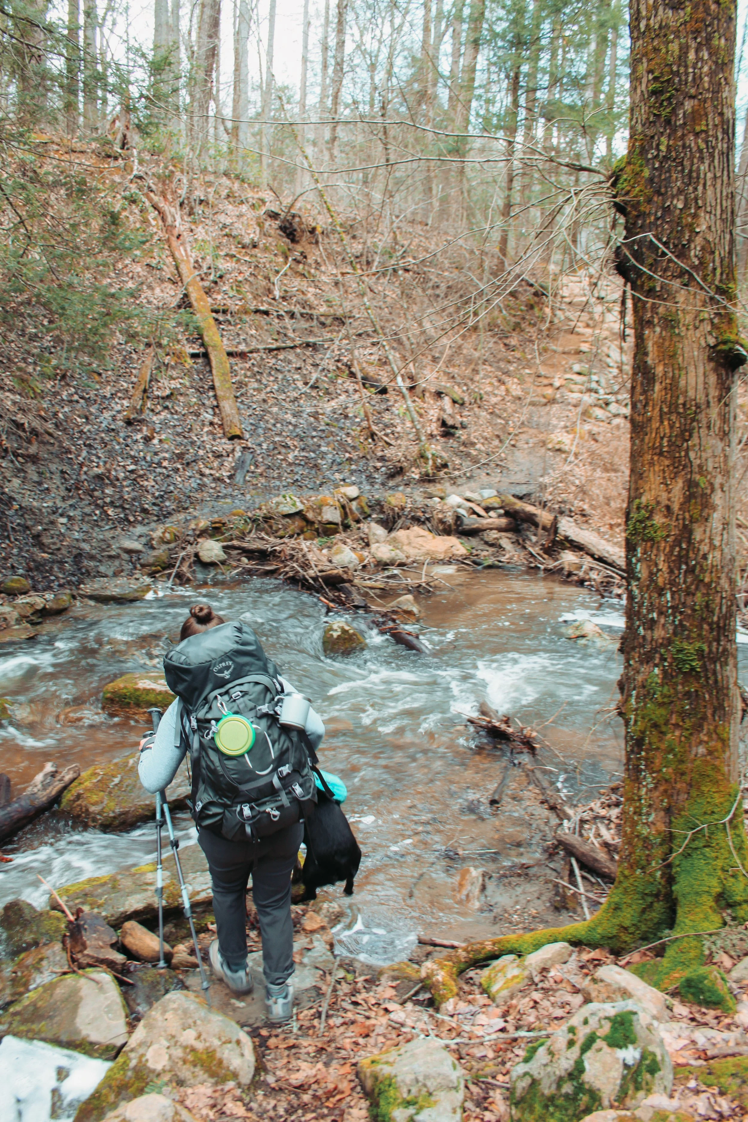
As you venture into Cascade Canyon the scenery constantly changes. The beginning is dense woods with steep mountains on either side. Keep your eyes peeled for wildlife, we saw two moose by the river. We did this hike in early June and there was still snow on the trail.

If you want to hike further into Cascade Canyon I would recommend taking the shuttle back instead of walking the two miles around the lake. We opted to hike back around the lake and about halfway we were absolutely exhausted and definitely jealous of those who chose to shuttle back!

This is a great hike with options to be family-friendly or to hike a DIY adventure. You can also turn this into a backpacking trip by hiking into cascade canyon then hiking out Paintbrush Canyon.

Stratton Mountain via The Long Trail/AT

May 2021

There is no better way to kick of spring than a hike up to the summit of our favorite ski mountain. Our winter playground is home to the fire tower that was the brainchild of the Appalachian Trail and the Long Trail.

There are a few different trails you can take to reach the fire tower. You can take the ski trails to the top of the mountain, The Long Trail (southbound), or the route we chose The Appalachian Trail which coincides with the Long Trail (northbound).

We parked at the Kelley Stand Road Trailhead and quickly entered dense woods. From the parking lot to the top of the Mountain is 3.6 miles.

The climb to the peak is steady but the trail is ever changing and keeps you on your toes. We hiked this at the end May when everything was in full bloom and green. There’s a multitude of river/stream crossings and rock scrambles to keep you on your toes.

Upon reaching the summit you’re greeted by the Stratton Mountain Fire Tower. I would highly recommend climbing to the top, the views are unprecedented. The history of this tower is unmatched. From this tower, in 1909 the idea for the Long Trail was cultivated several years later in 1921 it was from this tower Benton Mackaye dreamt of the idea for the Appalachian Trail.

Past the Fire Tower, there is a 0.7 mile trail that will take you to the summit of Stratton Mountain. It is worth the extra mileage! It was special to see one of our go-to ski mountains without snow.

See you next winter Stratton!

The Appalachian Trail: Connecticut Miles 16.2 - 27.4

Read all about miles 0.0 - 16.2 on the CT AT here

The snow on the ski trails has melted and backpacking season is here. We took advantage of a couple days off from work in early April and set out to tackle some more AT miles. We were stoked. The weather, well mother nature didn’t want to cooperate.

We parked at South Gate (River Rd) mile 16.2 in Kent and set out for our adventure. The morning was chilly, low 50’s, with intermittent rain forecasted.

We set out down the trail with light rain falling. There was plenty of tree cover protecting us and we could barely feel the drops. We were cruising at a steady pace. Our goal was to complete 12 miles the first day and 4-5 miles of the section was flat next to the Housatonic River.

Leah and I were chatting back and forth about how nice the trail and how good it felt to be back out here. I stopped quick almost ramming into Leah- she was dead stop in the middle of the trail. I tapped her pack with my pole and jokingly said what’s the hold up slow poke! Leah stepped to the side of the trail and started laughing. My jaw dropped. Not even 0.5 miles in and what was supposed to be a stream crossing with stepping stones was a raging river with thigh deep, ice-cold, water.

The best (dry) adventure pup

We figured the best way to cross it was to follow the river upstream to where the water level was more manageable. The best spot we could find was still at least knee deep but the water wasn’t strong. Sitting on the ground I peeled off my shoes, socks, and rolled my pants up as far as I could. Using my poles in one hand and the dog in the other I made my way across. Halfway across my foot got caught on a rock and I almost went down. It was quite the start to our adventure.

For most of the morning, we crossed rivers and the trail was flat and easy. Due to all the recent rain parts of the trail were completely submerged or extremely muddy. Our pup is adventurous but doesn’t always love water. Her harness has a handle that is perfect for these situations.

The trail eventually opened up to pastures and fields and we started our climb up into the mountains.

About five miles into the hike we reached the Route 4 crossing. Normally you can follow the trail over the road, descend down to the river, and cross using rocks and your poles. Due to the high water levels we were forced to do a blue blazed detour and had to road walk an extra 0.6 miles.

While taking our detour we took the opportunity to drink water and enjoy snacks. I chose trail mix and Leah had some beef jerky. Lucy of course enjoyed the scraps we dropped.

After re-routing we met back up with the AT. The trail quickly climbed out from Route 4 up into the mountains. The green tunnel passed two overlooks but due to the overcast weather there wasn’t much to see except a ski mountain far in the distance. Here we were sweating from our climb in T-Shirts and people miles away were skiing down the mountain.

After hiking for hours we were all gassed. We stopped for another snack break next to a set of waterfalls enjoying apple chips and granola bars. The pup and Leah took a power nap while I checked FarOut to see how much further we had to the campsite. We still had over four miles and two large climbs. I felt defeated. The fatigue had set in, our feet were sore and our muscles were tired. I woke Leah up after about 15 minutes and explained the situation. After talking it over instead of pushing on to Pine Swamp Brook shelter which was our original goal we decided to go as far as ceaser brook campsite. This cut the four miles in half and we only had one big climb left. Reluctantly we left our snack spot and headed down the trail.

Waterfalls for our snack break

The trail climbed for a hundred yards or so and then leveled out. We were cruising on the flat ground! The trail was covered in pine needles and was nice and soft to walk on with our sore feet.

We descended down to one more river crossing. Lucy was a pro by now she let us scoop her up by her packs handle and carry her without a fight. She learned how cold the water was a few river crossings back. After crossing the river we arrived at the Ceasar Brook Campsite.

We set up our tent, cooked dinner, and went to bed. We were exhausted. Even the dog, who’s normally an energizer bunny crawled into the tent did a few circles to ‘make a bed’ and passed out. The weather was cool enough that our sleeping bags and tent were incredibly cozy and we all slept great. When I rolled over in the morning something beneath me felt loose. I pulled my arm out of my sleeping bag and touched the area underneath the sleeping pad. My palm sunk down about an inch. Overnight it had rained and our tent was now resting in a giant puddle, shoot. I woke the crew up and begrudgingly we crawled out of the sleeping bags and started to pack up a soggy camp.

After the unexpected rain overnight I downloaded the forecast while we cooked breakfast and coffee. It was not looking good. Hail, lightning, and rain and it was all starting in about an hour. Since we were hiking with the dog we chose the safe route, and called our ride to pick us up at a road crossing two miles away.
It’s one thing to hike in bad weather with the two of us but not with the dog. I don’t have pictures from the morning hike out because we were moving! We crushed the two miles in a little over an hour and sat next to the road waiting for our ride. Lucy got an extra meal, water, and, lots of loving while we waited.

It was a good thing we decided to leave early when we did. Our ride shuttled us back to our truck that we left at the start. The truck and road were covered in golf ball-sized hail. Not ideal.

We’re planning on continuing to section hike the AT. Keep up with the journey and read some more posts here.